
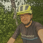
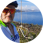
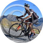
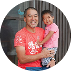
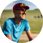
stephan_bavarian_cyclist
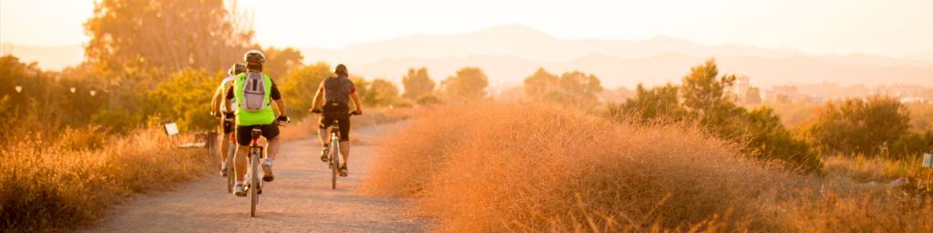
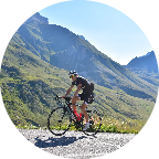
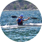
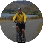
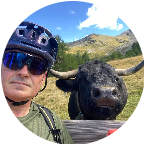
I live northeast of Munich in Ismaning in the district of Munich. Here cross the bike paths Isarradweg, Sempt-Isen Radweg and the Munich Radel Ring. In my spare time I cycle or hike in Bavaria and Austria.
Since November 2020, I record my ventures with 2.0 Hypersmooth stabilisation; with 4.0 Hypersmooth stabilisation or with 6.0 Hypersmooth stabilisation. Previously recorded videos with poor stabilization I have deleted. These tours are gradually recorded again and eröffentlicht.
I hope you enjoy getting to know the Bavarian and Austrian landscapes.
Follow me on Strava to see what new tours are coming up:
strava; garmin connect; instagram
Bike: KTM - Double Disc ; Cube - Kathmandu SL
Camera: Since November 2020 with 2.0 Hypersmooth stabilisation. Since Septebmer 2021 with 4.0 Hypersmooth stabilisation Since Septebmer 2023 with 6.0 Hypersmooth stabilisation
Tours are partly re-recorded.
GPS: Wahoo ELEMNT GPS
Symbol:
📹 = GoPro 10 Black / GoPro 12 Black Video
🚂 = former railroad line
🌷= Spring - Frühling: 1. März – 31. Mai.
☀️=Sommer - Sommer: 1. Juni – 31. August.
🍁= Autumn - Herbst: 1. September – 30. November.
❄️= Winter -Winter: 1. Dezember – 28./ 29. Februar.
🏃 = Run
🚶 = Walk
🚴 = Cycling
Watch profile
My Uphill Training


 French
 German
 United States
 Chinese
 Spanish
 Italian
 Dutch
Dutch